
Land Management · Landowners and records
See and draw khasras on the land map
See every khasra on a map coloured by its purchase status, draw or import shapes, place scanned maps, and export to Google Earth or shapefile.
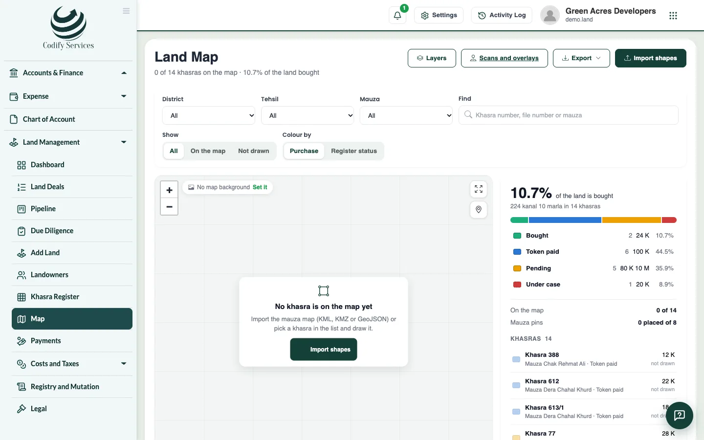
The Land Map shows each khasra as a shape, coloured by where its purchase stands: bought (green), token paid (blue), pending (amber), under case (red) and other (grey).
Before you start
- Looking needs View Land List. Drawing needs Can Manage Parcels and Maps. Importing also needs Can Import Land Data.
- For a satellite or street background, set a map provider in Land Settings > Map. Without it the khasras are drawn on a plain grid.
Steps
- Open Sidebar > Land Management > Map.
- Filter by district, tehsil and mauza, or find a khasra by its number or file number.
- Click a khasra to see its card: status, area in the register and on the map, owners, deals and any risk.
- To draw one, choose the khasra and press Draw the shape. Click each corner and close the shape; the area is worked out as you draw. Say where it came from and save.
- To bring shapes from a file, press Import shapes and choose a KML, KMZ, GeoJSON, GPX, zipped shapefile or AutoCAD DXF file. Check the matches, then press Import.
- Use Layers to lay the scheme boundary, master plan, roads, HT lines or a flood zone over the khasras.
- Use Scans and overlays to place a scanned aks shajra (the revenue field map) on the map by clicking 3 or 4 matching spots.
- Press Export for Excel, Google Earth (KML), GeoJSON or a shapefile.
Good to know
- A shape that overlaps another khasra is saved with a warning. Remove the shape asks why and keeps it in the history.
- Survey files in metres (UTM zones of Pakistan) are turned into map positions by themselves. A DXF's zone is guessed: check it.
- Overlay check lists each khasra a line (an HT line or pipeline) touches, within a corridor you choose.
- Export needs Can View Land Reports and Export.
Related
More in Landowners and records
Keep the landowners registerEnter every landowner, seller, buyer, heir, attorney and broker once, with ID numbers, heirs and powers of attorney, and merge duplicates.Keep the khasra registerRecord every khasra of your mauzas with its area, status and owners' shares, and see each khasra's chain of title.Import khasras and owners from ExcelBring a whole mauza's khasras and owners in at once from an Excel or CSV file, checked line by line before anything is saved.
Ready to try it? Open Land Management